Flying distance vs driving distance
The tool measures the shortest path over the surface of the Earth, called the great-circle distance. It’s the flying distance: the line a plane would take with no wind and no airspace to avoid.
Driving distance is longer, because roads go around hills, water and borders. For a drive, add 20 to 40 percent, or ask a route planner for the exact mileage.
On a flat map that line looks curved. Switch to the world map view to see it: the route from New York to London bends north over the Atlantic, because that really is the shorter way.
What the other numbers mean
- Time difference: how far ahead one place’s clock is, using today’s real time zones and daylight saving.
- Flight time: a rough estimate for a nonstop flight at a typical cruising speed, plus time for take-off and landing. Real schedules vary with wind and route.
- Direction: the compass direction the shortest route sets off in. Over long distances it changes along the way.
- Halfway point: the spot exactly in the middle of the route. Tap it to open it in our coordinates finder.
For the people far away
Most people who look up the distance between two cities have someone at the other end: a partner, a parent, a best friend who moved.
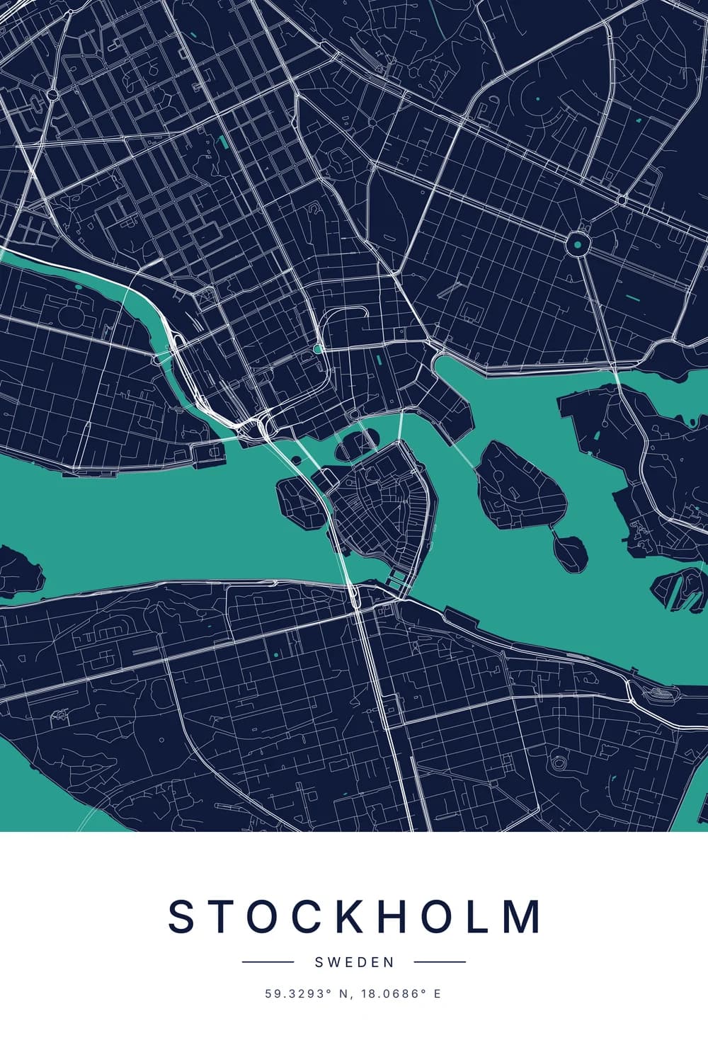
The number makes the distance real, and it can make a lovely gift. Two posters, one of each city, say “this is where I am, and this is where you are” without a single word.
That’s what the posters view above shows. Each one opens in the city map maker, where you can pick a style, add a heart on the exact street, and write a short line underneath.
Some well-known distances
- New York to London: about 5,570 km (3,460 miles).
- Los Angeles to Tokyo: about 8,820 km (5,480 miles).
- Toronto to Dhaka: about 12,440 km (7,730 miles).
- Sydney to London: about 16,990 km (10,560 miles), close to the far side of the world.
No two places on Earth can be more than about 20,000 km apart, half the way around the globe.
More about distance
Wondering why the route in the world map view bends? See why flight paths look curved on a map. And for the walking maths on one famous route, how long it would take to walk across America runs the numbers, from Texas to the Moon.
FAQ
Is this the driving distance?
No, it’s the straight-line distance, often called “as the crow flies”. Roads wind around hills, rivers and borders, so a drive is usually 20 to 40 percent longer.
The straight line is the number people mean when they say two places are “3,000 miles apart”, and it’s close to what a plane flies.
How do I find the distance between two cities on Google Maps?
On a computer, right-click the first place and choose “Measure distance”, then click the second. On a phone, drop a pin, open its card and tap “Measure distance”.
That gives the same straight-line distance as this calculator. For the driving distance, ask Google Maps for directions instead.
Why does the route curve on the world map?
Because the Earth is round and the map is flat. The shortest path between two places follows the curve of the globe, and a flat map stretches that into an arc.
It’s why flights from North America to Asia pass close to the Arctic.
How accurate is it?
Within about half a percent. The tool treats the Earth as a perfect sphere, which it almost is. For two cities 10,000 km apart, the error is a few dozen kilometres at most.
Is the time difference right during daylight saving?
Yes. It uses each place’s real time zone rules for today, so it changes by an hour when one of the two places switches clocks.
Can I get the two places as posters?
Each poster has a link that opens the city map maker on that city, with its name and coordinates already on it. Make one for each of you and hang them as a pair. Designing is free; each map is a $29 download.