How to find the latitude and longitude of a place
Start typing a place in the search box and pick it from the list. It can be a city, a street address, a park or a building.
For the latitude and longitude of your location right now, tap “use my exact location” instead. Your phone’s GPS is usually accurate to a few metres.
Then fine-tune it. Drag the map until the pin sits exactly where you want, and the numbers follow along.
Find a place from its coordinates
Got a pair of numbers and no idea where they point? Paste them into “Or go to coordinates” and press Go.
The map jumps to the spot and names the nearest town. Decimal (48.8584, 2.2945) and degrees, minutes and seconds (48°51′30″N 2°17′40″E) both work.
Latitude and longitude, in plain words
Latitude says how far north or south a place is, from 0° at the equator to 90° at the poles.
Longitude says how far east or west it is, from 0° at Greenwich in London to 180° on the other side of the world.
Together they pin down one spot on Earth, the way a row and seat number pin down one seat in a stadium.
GPS coordinate formats, and how to convert between them
- Decimal degrees (48.858370, 2.294481). Google Maps, Apple Maps, ride apps and most online forms want this one.
- Degrees, minutes and seconds (48°51′30.1″N 2°17′40.1″E). The traditional format on paper maps, deeds and atlases.
- Degrees and decimal minutes (48°51.502′N 2°17.669′E). Used by sailors, pilots and geocachers.
They all describe the same spot. A degree is split into 60 minutes, and a minute into 60 seconds, just like an hour.
To convert, paste coordinates in one format into “Or go to coordinates” and copy them out in another.
How precise are the numbers?
Each extra decimal place makes the spot about ten times smaller. Here is roughly what each one gets you:
- 2 decimals: about 1 km, enough for a town.
- 3 decimals: about 110 m, a neighbourhood block.
- 4 decimals: about 11 m, a single building.
- 5 decimals: about 1 m, a front door.
- 6 decimals: about 10 cm, more than any phone can measure.
Five or six decimals is plenty for anything. Longitude degrees shrink as you move away from the equator, so these sizes are a little smaller in places like London or Toronto.
Finding coordinates in Google Maps or on your phone
In Google Maps on a computer, right-click any spot and the coordinates appear at the top of the menu. Click them to copy.
On a phone, press and hold a spot until a pin drops. The coordinates show in the search bar or the card at the bottom.
On an iPhone, the Compass app also shows your current coordinates at the bottom of the screen.
To go the other way, type or paste coordinates into the Google Maps search box, latitude first, like 48.8584, 2.2945. Google drops a pin on the spot.
Coordinates as a keepsake
Coordinates are a quiet way to mark a place that matters: where you met, your first home, the venue where you married.
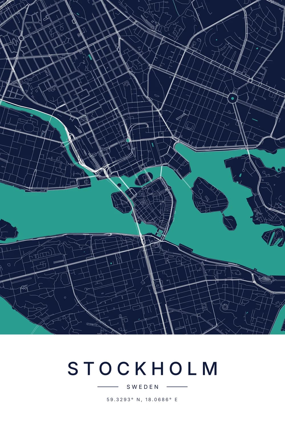
Our city map maker draws the real streets around any spot as a minimalist poster, with the name and coordinates underneath. You can see it on the right as you search, in any of the eight styles.
More about coordinates
New to all this? Start with how to read latitude and longitude, then what N, S, E and W mean in coordinates. For the streets around them, why so many cities are built on grids looks at the patterns you see on the map.
FAQ
How do I find the coordinates of my house?
Type your address into the search box above, or tap “use my exact location” while you’re at home. Then drag the map until the pin sits on your roof, and copy the numbers.
How do I find a location from latitude and longitude?
Paste the numbers into “Or go to coordinates” above and press Go. The map jumps to the spot and tells you the nearest town.
How do I enter GPS coordinates into Google Maps?
Type them into the Google Maps search box, latitude first, separated by a comma: 48.8584, 2.2945. Degrees, minutes and seconds work too, written like 48°51′30″N 2°17′40″E.
Which comes first, latitude or longitude?
Latitude comes first, then longitude. So 48.858370, 2.294481 means 48.86° north and 2.29° east, which is the Eiffel Tower.
Swapping them is the most common mistake, and it usually lands you in the ocean.
What do negative coordinates mean?
A minus sign on latitude means south of the equator. A minus sign on longitude means west of Greenwich, so every place in the Americas has a negative longitude.
Is this tool free? Do you store my location?
It’s free, with no sign-up. Your exact location is only read if you tap the button, and it isn’t saved anywhere.
Can I get these coordinates printed on a poster?
Yes. “Make this a poster” opens the city map maker on the same spot, with the coordinates already under the map. Designing is free; the print files and wallpapers are a $29 download.