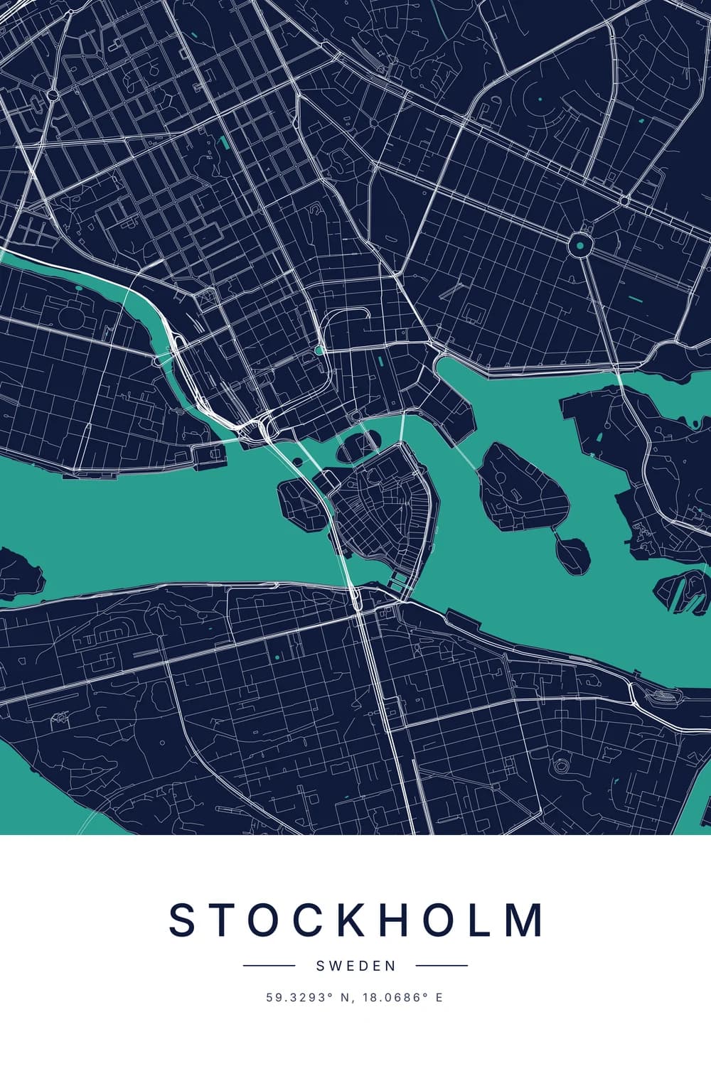
In coordinates, N and S tell you whether a place is north or south of the equator. E and W tell you whether it is east or west of an imaginary line through Greenwich, in London.
So “39.74° N, 104.99° W” reads as “39.74 degrees north of the equator, 104.99 degrees west of Greenwich.” That is Denver.
The number says how far. The letter says which way. Drop the letter and you have only told half the story, which is how people end up in the wrong ocean.
The two numbers in every pair of coordinates
Every place on Earth can be described with two numbers. The first is its latitude, and the second is its longitude.
Latitude: north or south (N and S)
Latitude measures how far you are from the equator, the belt around the middle of the Earth. The equator is 0 degrees, and the poles are 90.
A latitude of 90° N is the North Pole. 90° S is the South Pole. Everywhere else sits somewhere in between.
Since 40 degrees north and 40 degrees south are completely different places, the number alone isn’t enough. That is the letter’s whole job.
Longitude: east or west (E and W)
Longitude measures how far you are east or west of the Prime Meridian. That is a line running from pole to pole through the Royal Observatory in Greenwich.
Longitude goes from 0 at Greenwich to 180 on the far side of the planet. Go 180 degrees east or 180 degrees west and you arrive at the same line, in the middle of the Pacific.
Nobody picked Greenwich for its views, by the way. In 1884 a room full of delegates voted for it, mostly because British sea charts already used it.
An easy way to remember which is which
Latitude lines run flat around the globe, like the rungs of a ladder. “Lat is flat” is the trick most school teachers use.
Longitude lines are the long ones, stretching from the top of the world to the bottom. So N and S belong to the flat lines, and E and W to the long ones.
How to read N and W coordinates, step by step
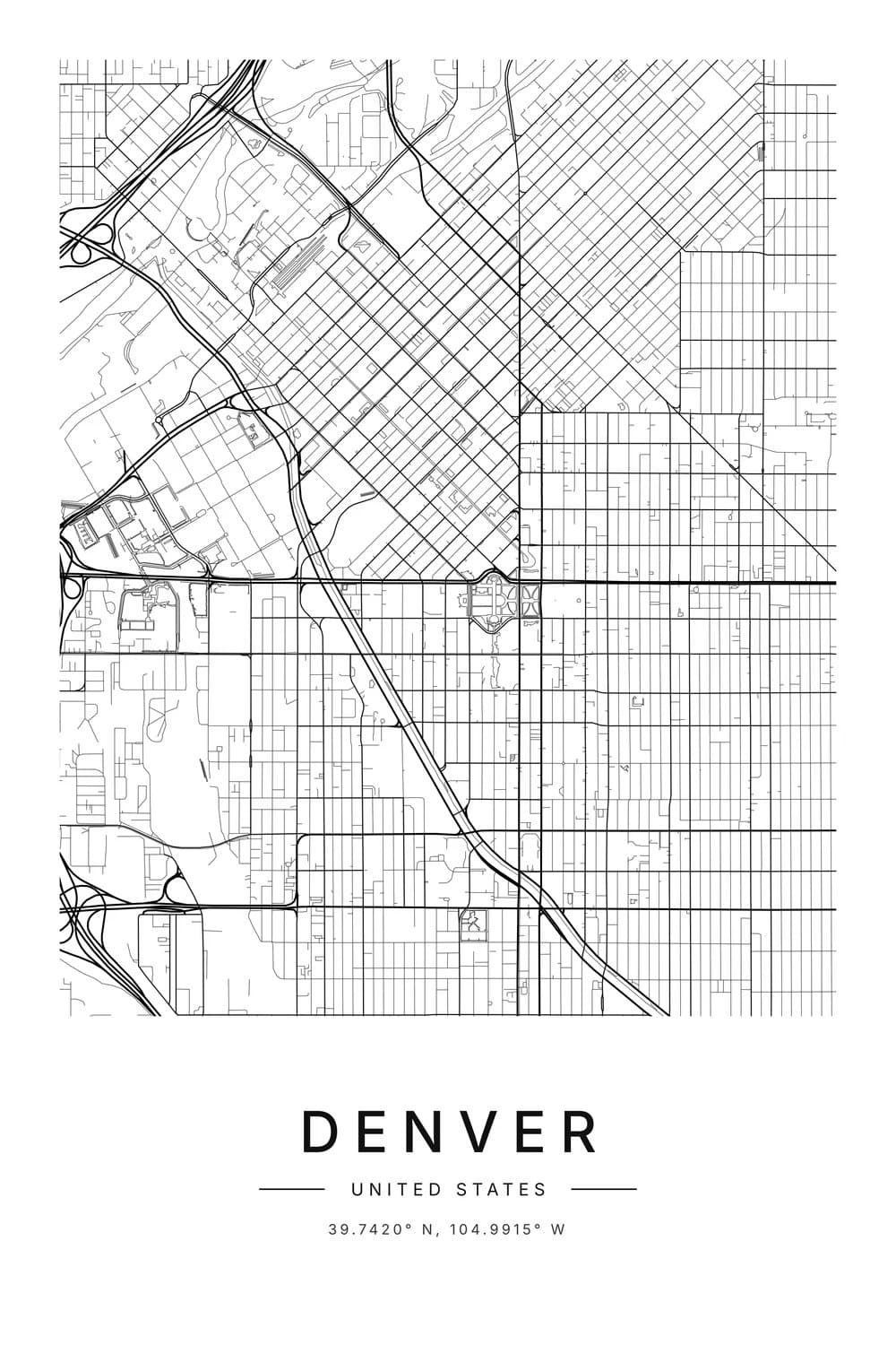
Let’s read a real one. This is the line printed under a city map poster of Denver: 39.7420° N, 104.9915° W.
- 39.7420° N is the latitude. Denver is about 39.7 degrees north of the equator, roughly level with Madrid, Ankara and Beijing.
- 104.9915° W is the longitude. Denver is about 105 degrees west of Greenwich, so well over a quarter of the way around the world.
Read it aloud as “thirty-nine point seven four degrees north, one hundred and four point nine nine degrees west.” Latitude always comes first.
The same place in other formats
You will also see coordinates written in degrees, minutes and seconds. Denver becomes 39°44′31″ N, 104°59′29″ W.
It looks fancier, but the letters mean exactly the same thing. Only the way of writing the number has changed, much like writing 1.5 hours as 1 hour 30 minutes.
Our guide to reading latitude and longitude walks through both formats step by step.
Our coordinates finder shows every place in all three common formats, so you can copy whichever one a form or a friend asks for.
Is W positive or negative? What the minus sign means
Plenty of apps skip the letters entirely. Google Maps, for one, shows Denver as 39.7420, -104.9915.
The rule is simple. North and east are positive, south and west are negative.
- N becomes a plain number: 39.7420° N is 39.7420.
- S becomes a minus: 33.8688° S is -33.8688.
- E becomes a plain number: 151.2093° E is 151.2093.
- W becomes a minus: 104.9915° W is -104.9915.
Use a letter or a minus sign, never both. “-104.99 W” is a double negative, and different apps read it in different ways.
Typing N and W coordinates into Google Maps
Google Maps understands both styles. Type “39.7420 N, 104.9915 W” or “39.7420, -104.9915” into the search box and you land in the same spot.
The degree symbol is optional, which saves hunting for it on a phone keyboard. Put latitude first and keep the comma between the two numbers.
Going the other way, tap and hold anywhere on the map and the coordinates appear as decimals, minus signs included. Now you know how to turn them back into letters.
The four quarters of the world
Put the two letters together and every place on Earth lands in one of four quarters. Here is one city from each.
North and east (N, E)
Most of Europe, nearly all of Asia, the Middle East and much of Africa. Lyon, in France, is 45.7578° N, 4.8357° E.
North and west (N, W)
The United States, Canada, Mexico, Central America and the Caribbean, plus Ireland, Portugal and most of Spain. Denver is our example here.
Even a slice of England counts. Liverpool sits at 53.40° N, 2.98° W, because it is a little west of Greenwich.
South and east (S, E)
Australia, New Zealand, most of Indonesia and southern Africa. Sydney is 33.8688° S, 151.2093° E.
South and west (S, W)
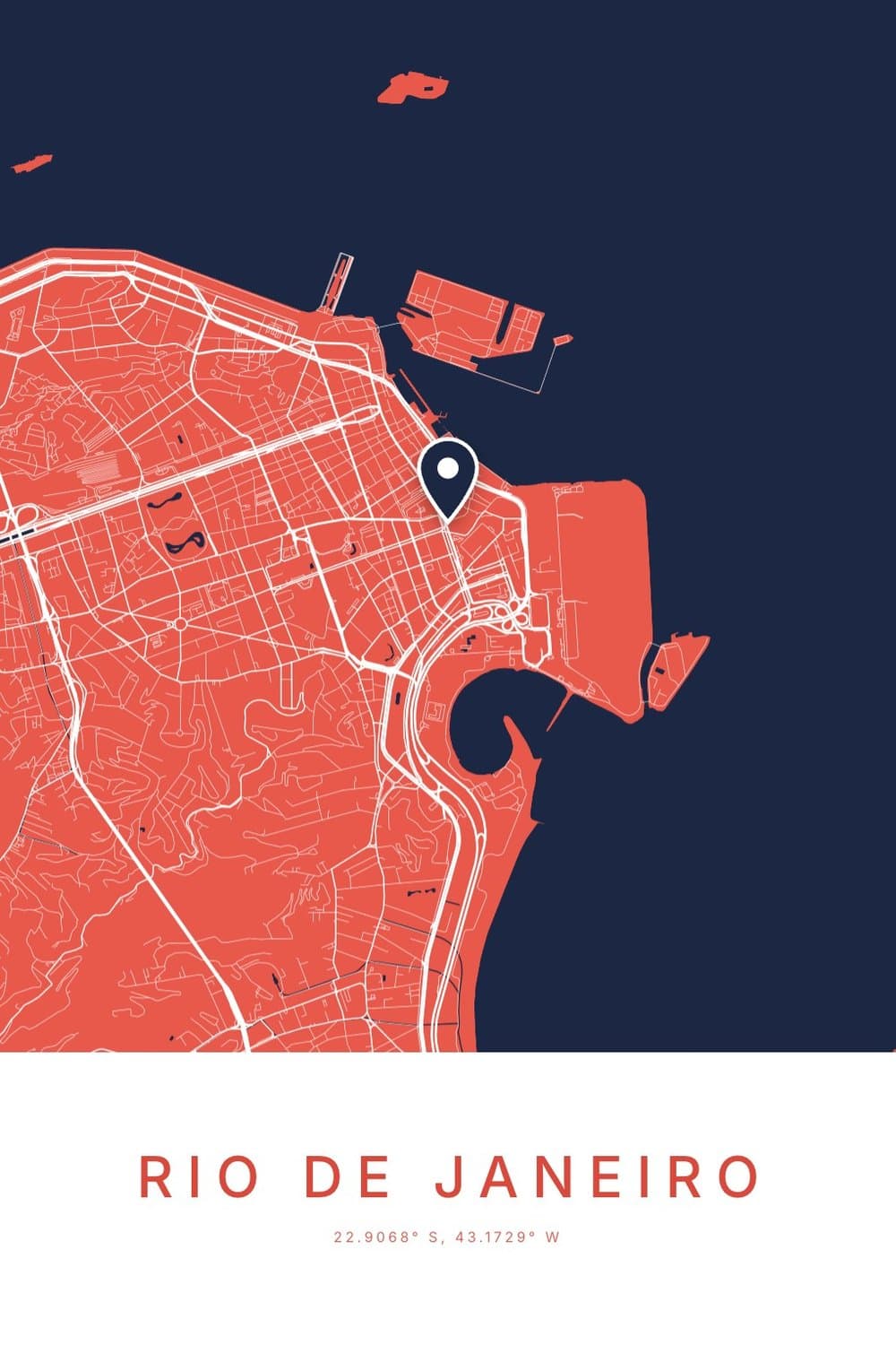
Most of South America. Rio de Janeiro is 22.9068° S, 43.1729° W.
The very top of the continent, like most of Colombia and Venezuela, is just north of the equator. Those places are N and W.
Why one missing letter changes everything
Leave out a letter, or lose a minus sign, and you haven’t made a small mistake. You have moved the place to a different quarter of the world.
- Denver without its W becomes 39.74° N, 104.99° E. That is a desert in northern China.
- Sydney without its S becomes 33.87° N, 151.21° E. That is open Pacific Ocean, far east of Japan.
- Rio without its S becomes 22.91° N, 43.17° W. That is the middle of the Atlantic.
So when you copy coordinates from one place to another, check the letters or the minus signs survived the trip. It is the most common reason a pin lands somewhere strange.
A few fun places on the lines
Where the equator meets the Prime Meridian, at 0° and 0°, there is nothing but sea in the Gulf of Guinea. Map makers jokingly call it Null Island.
It gets a surprising number of visitors on screen. Whenever an app loses a place’s coordinates and fills in zeros, that is where it ends up.
Ecuador is named after the equator, which runs just north of its capital, Quito. And the Prime Meridian crosses eight countries, from the UK through France and Spain down to Ghana.
Why coordinates make a good thing to put on a wall
Once you can read them, a pair of coordinates is a lovely, quiet way to mark a place. Strangers see numbers, and you see the street where you grew up.
That is why we print them under every city map poster, letters and all. The streets show the place, and the line underneath pins it to one exact spot on the planet.
If you are curious which way the sky above that spot faces, our guide to the northern and southern hemisphere skies picks up where the N and S leave off. And if you have two places in mind, the distance tool shows exactly how far apart they are.
FAQ
What does N and W mean in coordinates?
N means the place is north of the equator, and W means it is west of the Prime Meridian in Greenwich. All of the United States and Canada are N and W.
Which is longitude, N or W?
W. East and west always go with longitude, and north and south always go with latitude. In “39.74° N, 104.99° W”, the W number is the longitude.
Is W positive or negative?
Negative. When coordinates are written without letters, west longitudes and south latitudes get a minus sign. So 104.99° W becomes -104.99.
Does latitude or longitude come first?
Latitude comes first almost everywhere, including Google Maps and GPS devices. A few computer formats flip the order, which is one more reason the letters are handy: they make the order impossible to mix up.
How do I find the N and W coordinates of my house?
Open the coordinates finder, search your address or use your location, and move the map until the pin sits on your roof. It shows the coordinates with letters, as decimals, and in degrees and minutes.