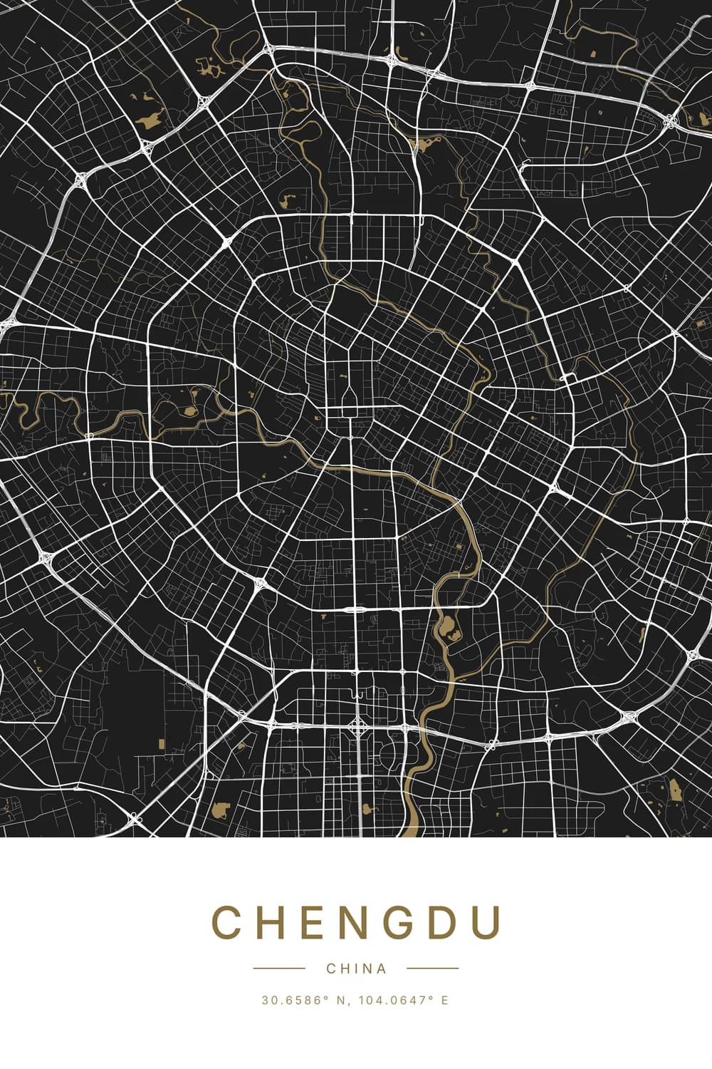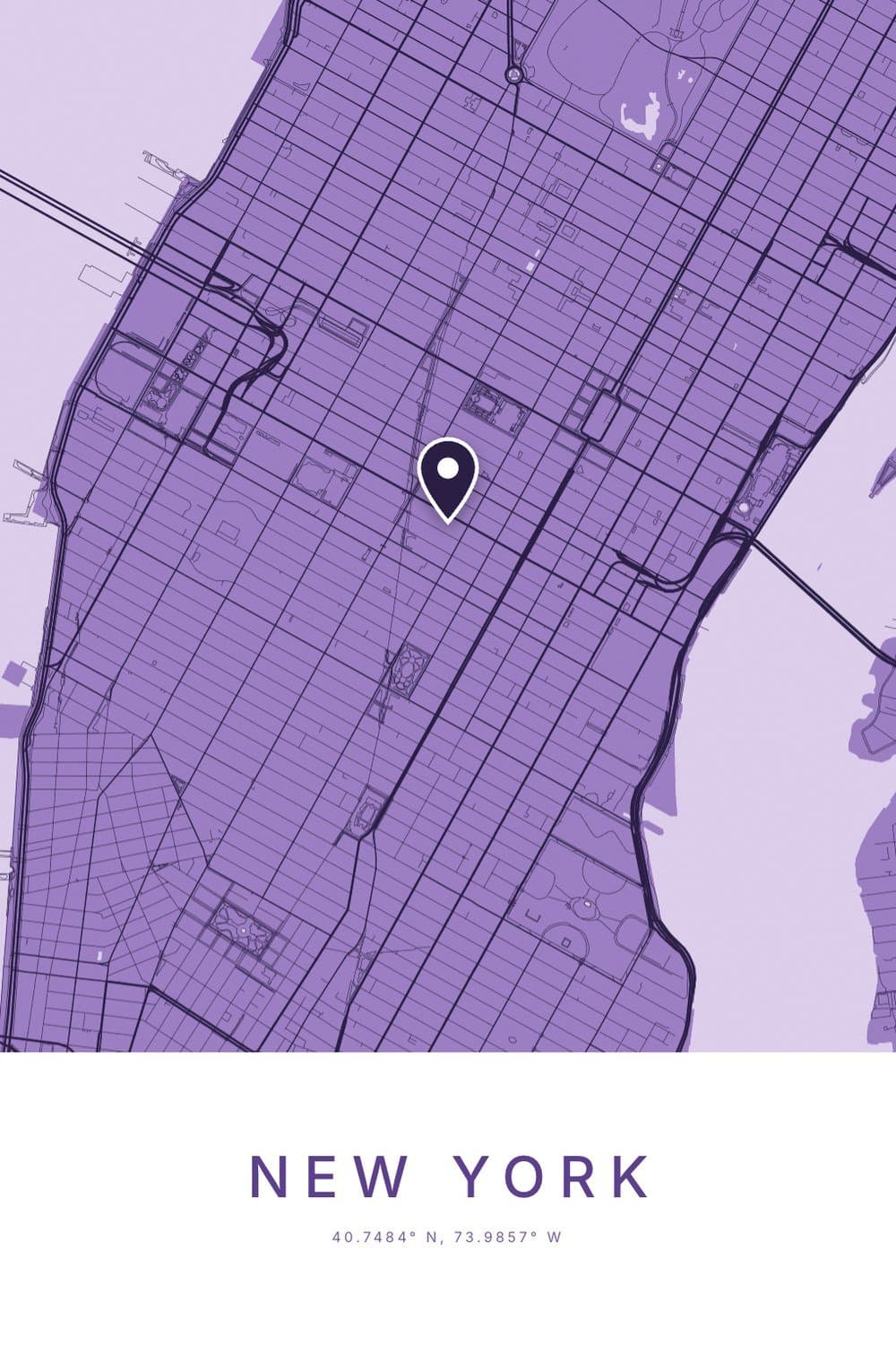
To read latitude and longitude, take the two numbers in order. The first is latitude, how far north or south of the equator a place is. The second is longitude, how far east or west of Greenwich it is.
So “40.7484° N, 73.9857° W” means about 40.7 degrees north and 74 degrees west. That is the Empire State Building, in New York.
Everything else, the decimals, the minutes and seconds, the minus signs, is just a more exact way of saying the same two things.
What latitude and longitude actually measure
Imagine drawing two sets of lines over the whole planet. One set runs flat around it, the other runs from pole to pole.
Where one line from each set crosses, you have an address that works anywhere on Earth, even in the middle of an ocean where there are no street names.
Latitude: the flat lines
Latitude lines circle the globe like the rungs of a ladder. The equator is 0, and the numbers climb to 90 at each pole.
The trick most teachers use: “lat is flat.” Bigger latitude means closer to a pole, which roughly means colder.
Longitude: the long lines
Longitude lines run from the North Pole to the South Pole, like segments of an orange. The one through Greenwich, in London, is 0.
From there the numbers climb to 180 in both directions, meeting on the far side of the world in the Pacific.
Because both directions use the same numbers, every coordinate needs a direction too. Our guide to what N, S, E and W mean in coordinates covers the letters and the minus signs in detail.
How to read a decimal coordinate, step by step
Decimal coordinates are what phones and Google Maps use. Let’s read the Empire State Building again, the way your phone would show it: 40.7484, -73.9857.
- Step 1: split the pair at the comma. The first number, 40.7484, is latitude. The second, -73.9857, is longitude.
- Step 2: look at the signs. No minus on the latitude means north. A minus on the longitude means west.
- Step 3: read the whole numbers. 40 north and 73 west already puts you on the east coast of the United States.
- Step 4: let the decimals zoom in. The four decimal places take you from “somewhere near New York” to one building on Fifth Avenue.
What each decimal place tells you
This is the part almost nobody explains. Each extra decimal place makes the location about ten times more exact.
- 40.7: within about 11 km. That is a city.
- 40.75: within about 1 km. That is a neighbourhood.
- 40.748: within about 110 metres. That is a block.
- 40.7484: within about 11 metres. That is a building.
- 40.74844: within about 1 metre. That is where you are standing.
So when a website gives you eight decimal places, it is claiming millimetre precision. Your phone’s GPS is usually good to a few metres, so four or five decimals is plenty.
How to read degrees, minutes and seconds
Older maps, ships and surveyors write coordinates differently. The Empire State Building becomes 40°44′54″ N, 73°59′08″ W.
It works exactly like a clock. A degree splits into 60 minutes, and each minute splits into 60 seconds.
- 40° is the degrees, the same 40 as before.
- 44′ is 44 minutes, which is 44/60 of a degree, or about 0.73.
- 54″ is 54 seconds, a tiny extra 0.015 of a degree.
Add them up and you get back to 40.748, the same spot. The single tick (′) means minutes and the double tick (″) means seconds.
You don’t have to do the sums yourself. The coordinates finder shows decimals, degrees and minutes, and degrees, minutes and seconds side by side, each with a copy button.
How to say coordinates out loud
Read latitude first, then longitude, and say the direction after each. For decimals: “forty point seven four eight four north, seventy-three point nine eight five seven west.”
For degrees, minutes and seconds: “forty degrees, forty-four minutes, fifty-four seconds north.” Pilots and sailors often drop the units and just say the digits, which is faster and harder to mishear.
Over the phone, always say the direction rather than “minus.” A minus sign is the easiest thing in the world to miss.
How to write coordinates
Write latitude first, then a comma, then longitude. Either use letters, “40.7484° N, 73.9857° W”, or minus signs, “40.7484, -73.9857”, but not both at once.
Keep the same number of decimal places on both halves, and four or five is plenty. If someone will type it into a phone, the plain decimal version is the safest choice, since every map app understands it.
How to read latitude and longitude on a paper map
On a printed map, the numbers live in the margins. Latitude is marked up the left and right edges, and longitude along the top and bottom.
To find a place, follow the flat lines across from the side margin for its latitude. Then follow the long lines down from the top margin for its longitude.
One trap if you learned grid references at school. Those say “along the corridor, then up the stairs”, across first. Coordinates do the opposite: up and down (latitude) comes first.
How big is one degree?
One degree of latitude is about 111 km, or 69 miles. It stays roughly that size from the equator to the poles.
Longitude is different. Because the long lines all meet at the poles, a degree of longitude is 111 km wide at the equator, about 56 km in Oslo, and nothing at all at the North Pole.
A minute of latitude is about 1.85 km, which is exactly why sailors use it. It is the original nautical mile.
Two famous zeros worth visiting
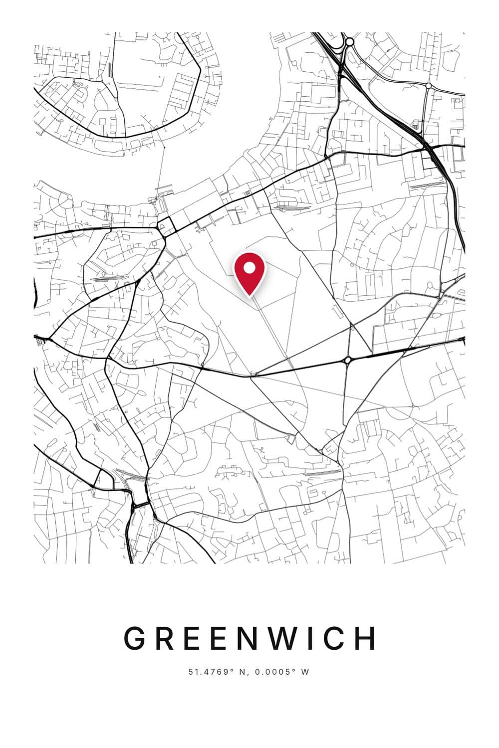
Greenwich, where longitude starts
Visitors to the Royal Observatory line up to stand on a brass strip marking longitude 0. Here is the funny part: their phones disagree.
Modern GPS measures from a line about 100 metres east of the brass one. Stand on the famous strip and your phone reads roughly 0.0015° W.
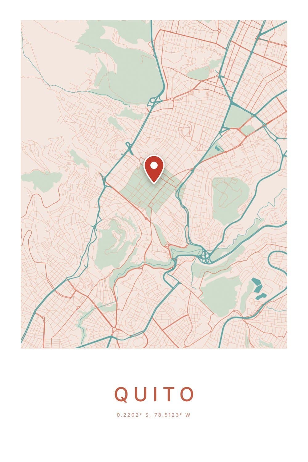
Quito, almost on the equator
Ecuador takes its name from the equator, and its capital, Quito, sits about 24 km south of it, at 0.2202° S.
Just north of the city is the Mitad del Mundo, a monument built to mark the equator. GPS later showed it is a couple of hundred metres off, which the tourists don’t seem to mind.
Why two numbers make a lovely keepsake
Once you can read coordinates, you notice how much they hold. Two short numbers can point to the hospital where you were born or the bench where someone said yes.
That is why we print them under every city map poster. Anyone can see the streets, but only the people who were there know why those exact numbers matter.
If you have two places in your story, the distance between cities tool shows how far apart they are, with a few silly facts about walking there. And for the sky above a place rather than the streets, our guide to reading a star map uses the same idea of a date and a place.
FAQ
How do you read latitude and longitude coordinates?
Read the first number as latitude, north or south of the equator, and the second as longitude, east or west of Greenwich. A minus sign means south or west.
What is a trick to remember latitude and longitude?
“Lat is flat”: latitude lines run flat around the globe like ladder rungs. Longitude lines are the long ones, running from pole to pole.
How do you say coordinates out loud?
Say latitude first, then longitude, with the direction after each: “forty point seven four north, seventy-three point nine nine west.” Say “west” or “south” rather than “minus”, which is easy to miss.
How many decimal places do coordinates need?
Four decimal places finds a building, and five finds the spot you are standing on. More than six is more precise than any phone GPS can actually measure.
How do I find the latitude and longitude of a place?
Search it on the free coordinates finder, or use your phone’s location. It shows the coordinates as decimals and in degrees, minutes and seconds, ready to copy.